
Parag topographic map
Interactive map
Click on the map to display elevation.
About this map
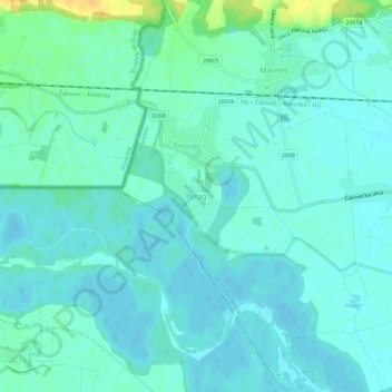
Name: Parag topographic map, elevation, terrain.
Location: Parag, Općina Nedelišće, Međimurje County, Croatia (46.35737 16.29246 46.39737 16.33246)
Average elevation: 176 m
Minimum elevation: 170 m
Maximum elevation: 199 m
Other topographic maps
Click on a map to view its topography, its elevation and its terrain.