
Northrop topographic map
Interactive map
Click on the map to display elevation.
About this map
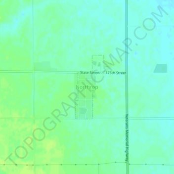
Name: Northrop topographic map, elevation, terrain.
Location: Northrop, Martin County, Minnesota, 56075, United States (43.73138 -94.43887 43.74125 -94.43264)
Average elevation: 349 m
Minimum elevation: 343 m
Maximum elevation: 356 m
Other topographic maps
Click on a map to view its topography, its elevation and its terrain.
Ormsby
United States > Minnesota > Martin County
Ormsby, Martin County, Minnesota, United States
Average elevation: 367 m
Fairmont
United States > Minnesota > Martin County > Fairmont > Fairmont
Fairmont, Martin County, Minnesota, 56031, United States
Average elevation: 360 m
Fairmont
United States > Minnesota > Martin County
Fairmont, Martin County, Minnesota, 56031, United States
Average elevation: 361 m