
Make a donation
Gear up for your next adventure:
As an Amazon Associate, this site earns from qualifying purchases at no extra cost to you.
Drousha topographic map
Click on the map to display elevation.
Make a donation
Gear up for your next adventure:
As an Amazon Associate, this site earns from qualifying purchases at no extra cost to you.
Drousha
Drousia or Drouseia or Droushia, one of the smallest villages in the mountainous area of Paphos, built at the highest point of the plateau of Laona, is located on the western side of the island. The settlement seems to have taken its name from the word “drosia” (meaning coolness, temperature-wise in Greek), since because of its altitude and its relatively short distance from Akamas, it remains a cool destination even during the summer months.
Make a donation
Gear up for your next adventure:
As an Amazon Associate, this site earns from qualifying purchases at no extra cost to you.
About this map
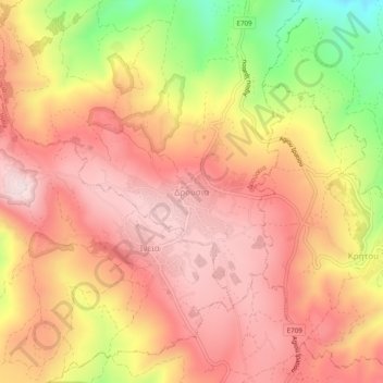
Name: Drousha topographic map, elevation, terrain.
Location: Drousha, Drouseia, Paphos District, Cyprus, 8700, Cyprus (34.94226 32.37865 34.98226 32.41865)
Average elevation: 517 m
Minimum elevation: 238 m
Maximum elevation: 670 m
Make a donation
Gear up for your next adventure:
As an Amazon Associate, this site earns from qualifying purchases at no extra cost to you.