
Kalwanga topographic map
Interactive map
Click on the map to display elevation.
About this map
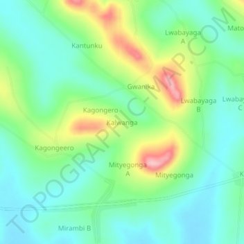
Name: Kalwanga topographic map, elevation, terrain.
Location: Kalwanga, Gomba, Central Region, Uganda (0.11278 31.72083 0.15278 31.76083)
Average elevation: 1,213 m
Minimum elevation: 1,163 m
Maximum elevation: 1,324 m