
Bad Vilbel topographic map
Interactive map
Click on the map to display elevation.
About this map
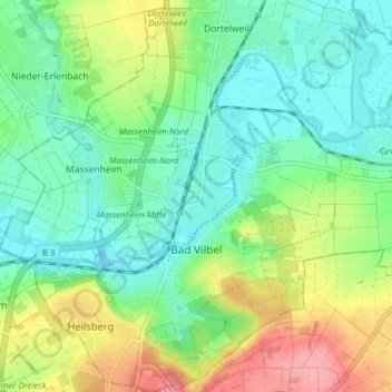
Name: Bad Vilbel topographic map, elevation, terrain.
Location: Bad Vilbel, Wetteraukreis, Hesse, 61118, Germany (50.16220 8.70611 50.21226 8.76740)
Average elevation: 137 m
Minimum elevation: 103 m
Maximum elevation: 206 m
Other topographic maps
Click on a map to view its topography, its elevation and its terrain.