
La Loma topographic map
Interactive map
Click on the map to display elevation.
About this map
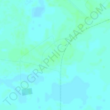
Name: La Loma topographic map, elevation, terrain.
Location: La Loma, Becerril, Cesar, Colombia (9.69629 -73.53221 9.71629 -73.51221)
Average elevation: 51 m
Minimum elevation: 48 m
Maximum elevation: 55 m
Other topographic maps
Click on a map to view its topography, its elevation and its terrain.