
Huichon topographic map
Interactive map
Click on the map to display elevation.
About this map
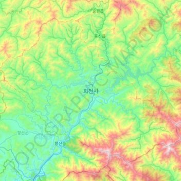
Name: Huichon topographic map, elevation, terrain.
Location: Huichon, Chagang, North Korea (39.99038 125.97788 40.35211 126.57042)
Average elevation: 524 m
Minimum elevation: 53 m
Maximum elevation: 1,896 m
Other topographic maps
Click on a map to view its topography, its elevation and its terrain.