
Kampung Serasot topographic map
Interactive map
Click on the map to display elevation.
About this map
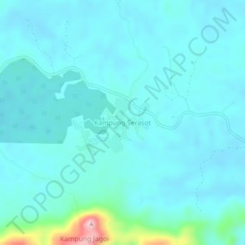
Name: Kampung Serasot topographic map, elevation, terrain.
Location: Kampung Serasot, Bau, Kuching Division, Sarawak, Malaysia (1.35844 110.02356 1.39844 110.06356)
Average elevation: 68 m
Minimum elevation: 33 m
Maximum elevation: 323 m
Other topographic maps
Click on a map to view its topography, its elevation and its terrain.