
大藤峡 topographic map
Interactive map
Click on the map to display elevation.
About this map
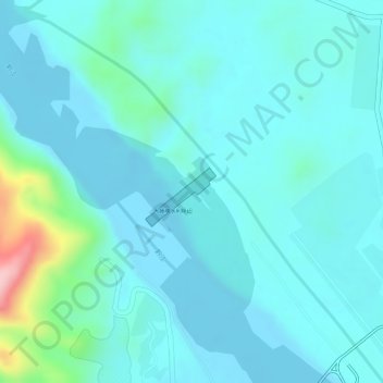
Name: 大藤峡 topographic map, elevation, terrain.
Location: 大藤峡, 桂平市, 贵港市, 广西壮族自治区, 中国 (23.45897 110.03137 23.46260 110.03616)
Average elevation: 57 m
Minimum elevation: 26 m
Maximum elevation: 215 m
Other topographic maps
Click on a map to view its topography, its elevation and its terrain.