
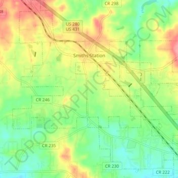
Smiths Station topographic map
Interactive map
Click on the map to display elevation.
About this map
Name: Smiths Station topographic map, elevation, terrain.
Location: Smiths Station, Lee County, Alabama, 36877, United States (32.49862 -85.12934 32.55868 -85.06039)
Average elevation: 143 m
Minimum elevation: 106 m
Maximum elevation: 194 m