
Heerlijkheid Beek topographic map
Interactive map
Click on the map to display elevation.
About this map
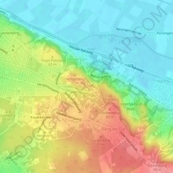
Name: Heerlijkheid Beek topographic map, elevation, terrain.
Average elevation: 44 m
Minimum elevation: 7 m
Maximum elevation: 95 m
Other topographic maps
Click on a map to view its topography, its elevation and its terrain.
Leuth
Niederlande > Geldern > Berg en Dal
Leuth, Berg en Dal, Geldern, Niederlande
Average elevation: 11 m