
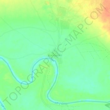
Kangaten topographic map
Interactive map
Click on the map to display elevation.
About this map
Name: Kangaten topographic map, elevation, terrain.
Location: Kangaten, South Omo, Southern Nations, Ethiopia (5.15998 36.07224 5.19998 36.11224)
Average elevation: 386 m
Minimum elevation: 369 m
Maximum elevation: 412 m