
Checa topographic map
Interactive map
Click on the map to display elevation.
About this map
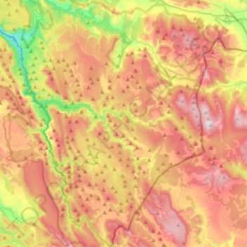
Name: Checa topographic map, elevation, terrain.
Location: Checa, Guadalajara, Castilla-La Mancha, 19310, España (40.39823 -1.88907 40.62712 -1.73552)
Average elevation: 1,562 m
Minimum elevation: 1,149 m
Maximum elevation: 1,925 m