
Chiang Rak Noi Subdistrict topographic map
Interactive map
Click on the map to display elevation.
About this map
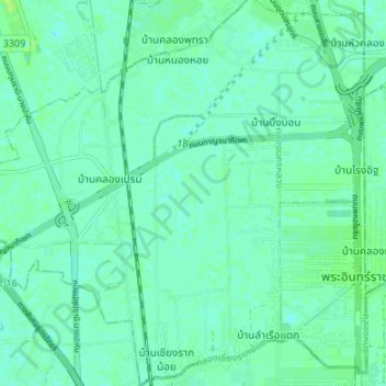
Name: Chiang Rak Noi Subdistrict topographic map, elevation, terrain.
Average elevation: 4 m
Minimum elevation: 0 m
Maximum elevation: 11 m