
Dossa topographic map
Interactive map
Click on the map to display elevation.
About this map
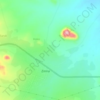
Name: Dossa topographic map, elevation, terrain.
Location: Dossa, Zing, Taraba, Nigéria (8.98000 11.73000 9.02000 11.77000)
Average elevation: 516 m
Minimum elevation: 459 m
Maximum elevation: 667 m