
Genggelang topographic map
Interactive map
Click on the map to display elevation.
About this map
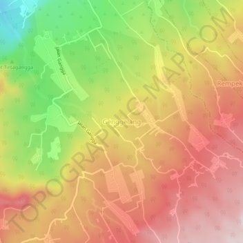
Name: Genggelang topographic map, elevation, terrain.
Location: Genggelang, Lombok Utara, West Nusa Tenggara, Indonesia (-8.38413 116.22293 -8.34413 116.26293)
Average elevation: 437 m
Minimum elevation: 180 m
Maximum elevation: 626 m