
Jurumudi Baru topographic map
Interactive map
Click on the map to display elevation.
About this map
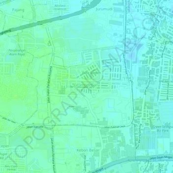
Name: Jurumudi Baru topographic map, elevation, terrain.
Location: Jurumudi Baru, Benda, Tangerang, Banten, 15124, Indonesia (-6.15485 106.67034 -6.14205 106.68777)
Average elevation: 9 m
Minimum elevation: 4 m
Maximum elevation: 13 m