
Hassan topographic map
Interactive map
Click on the map to display elevation.
About this map
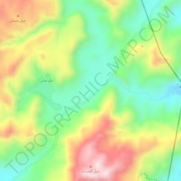
Name: Hassan topographic map, elevation, terrain.
Location: Hassan, Bilad ar Rus, Gouvernorat de Sanaa, Yémen (14.93000 44.31333 14.97000 44.35333)
Average elevation: 2,664 m
Minimum elevation: 2,452 m
Maximum elevation: 2,954 m