
Cook topographic map
Interactive map
Click on the map to display elevation.
About this map
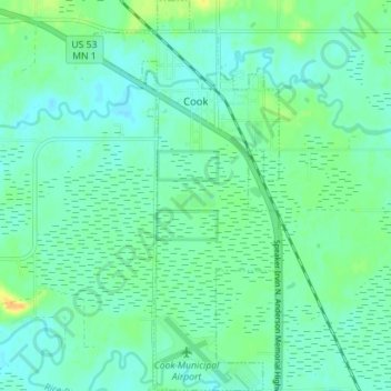
Name: Cook topographic map, elevation, terrain.
Location: Cook, Saint Louis County, Minnesota, États-Unis (47.81731 -92.70798 47.86458 -92.67460)
Average elevation: 403 m
Minimum elevation: 395 m
Maximum elevation: 422 m