
IJhorst topographic map
Interactive map
Click on the map to display elevation.
About this map
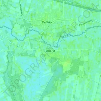
Name: IJhorst topographic map, elevation, terrain.
Location: IJhorst, Overijssel, Niederlande, 7955, Niederlande (52.64075 6.27106 52.68075 6.31106)
Average elevation: 4 m
Minimum elevation: 0 m
Maximum elevation: 7 m