
Crookhall topographic map
Interactive map
Click on the map to display elevation.
About this map
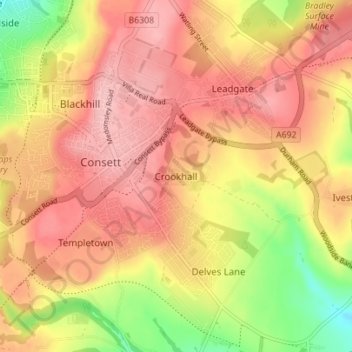
Name: Crookhall topographic map, elevation, terrain.
Average elevation: 226 m
Minimum elevation: 141 m
Maximum elevation: 277 m
Other topographic maps
Click on a map to view its topography, its elevation and its terrain.
Benfieldside
United Kingdom > England > County Durham > Consett
Benfieldside, Consett, County Durham, North East, England, DH8 0RW, United Kingdom
Average elevation: 179 m