
Ajnala topographic map
Interactive map
Click on the map to display elevation.
About this map
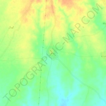
Name: Ajnala topographic map, elevation, terrain.
Location: Ajnala, Gujrāt District, Punjab, 50780, Pakistan (32.77306 74.22099 32.81306 74.26099)
Average elevation: 294 m
Minimum elevation: 276 m
Maximum elevation: 311 m