
Oceanside topographic map
Click on the map to display elevation.
About this map
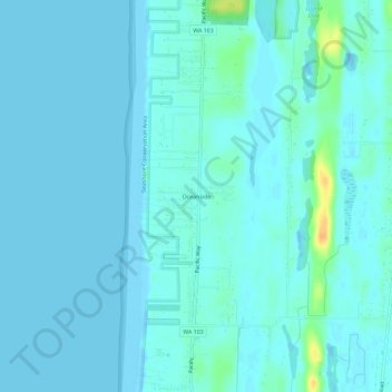
Name: Oceanside topographic map, elevation, terrain.
Location: Oceanside, Pacific County, Washington, United States (46.38842 -124.07269 46.42842 -124.03269)
Average elevation: 4 m
Minimum elevation: -5 m
Maximum elevation: 32 m
Other topographic maps
Click on a map to view its topography, its elevation and its terrain.
Cape Disappointment State Park
United States > Washington > Pacific County > Ilwaco
Average elevation: 6 m
Long Beach Peninsula
United States > Washington > Pacific County > Ocean Park
Due to its low elevation and coastal location, the peninsula is at high risk of severe damage in the event of a tsunami.
Average elevation: 39 m
Long Beach Peninsula
United States > Washington > Pacific County > Ocean Park
Due to its low elevation and coastal location, the peninsula is at high risk of severe damage in the event of a tsunami.
Average elevation: 39 m