
San Luis topographic map
Interactive map
Click on the map to display elevation.
About this map
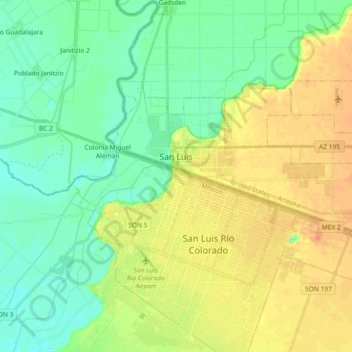
Name: San Luis topographic map, elevation, terrain.
Location: San Luis, Yuma County, Arizona, Estados Unidos de América (32.43951 -114.81406 32.52368 -114.63100)
Average elevation: 37 m
Minimum elevation: 21 m
Maximum elevation: 57 m