
Adoni topographic map
Interactive map
Click on the map to display elevation.
About this map
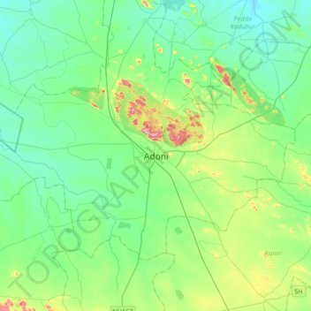
Name: Adoni topographic map, elevation, terrain.
Location: Adoni, Kurnool District, Andhra Pradesh, 518301, India (15.46520 77.11291 15.78520 77.43291)
Average elevation: 418 m
Minimum elevation: 357 m
Maximum elevation: 627 m