
Nawasu topographic map
Interactive map
Click on the map to display elevation.
About this map
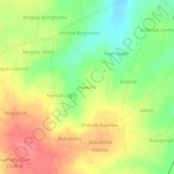
Name: Nawasu topographic map, elevation, terrain.
Location: Nawasu, Butaleja, Eastern Region, Uganda (0.80681 33.89084 0.84681 33.93084)
Average elevation: 1,112 m
Minimum elevation: 1,072 m
Maximum elevation: 1,149 m