
Pania topographic map
Interactive map
Click on the map to display elevation.
About this map
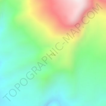
Name: Pania topographic map, elevation, terrain.
Location: Pania, Deiyai, Central Papua, Western New Guinea, Indonesia (-4.23338 136.14995 -4.23328 136.15005)
Average elevation: 1,128 m
Minimum elevation: 860 m
Maximum elevation: 1,562 m
Other topographic maps
Click on a map to view its topography, its elevation and its terrain.