
Jaguaré topographic map
Interactive map
Click on the map to display elevation.
About this map
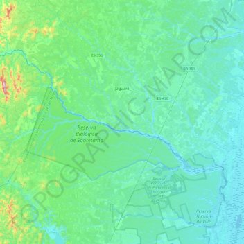
Name: Jaguaré topographic map, elevation, terrain.
Location: Jaguaré, Espírito Santo, Región Sudeste, 29950-000, Brasil (-19.16087 -40.20791 -18.77465 -39.74111)
Average elevation: 65 m
Minimum elevation: -2 m
Maximum elevation: 474 m