
Moimba topographic map
Interactive map
Click on the map to display elevation.
About this map
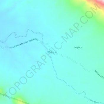
Name: Moimba topographic map, elevation, terrain.
Location: Moimba, Namibe Province, Angola (-16.71372 13.00088 -16.67372 13.04088)
Average elevation: 736 m
Minimum elevation: 688 m
Maximum elevation: 1,077 m
Other topographic maps
Click on a map to view its topography, its elevation and its terrain.