
Panda topographic map
Interactive map
Click on the map to display elevation.
About this map
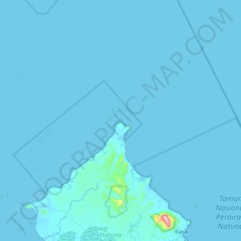
Name: Panda topographic map, elevation, terrain.
Location: Panda, Kepri, Indonésia (3.91333 107.89667 4.55333 108.53667)
Average elevation: 8 m
Minimum elevation: -2 m
Maximum elevation: 964 m