
Sigarang Garang topographic map
Interactive map
Click on the map to display elevation.
About this map
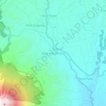
Name: Sigarang Garang topographic map, elevation, terrain.
Location: Sigarang Garang, Karo, North Sumatra, Sumatra, Indonesia (3.17021 98.39040 3.21021 98.43040)
Average elevation: 1,448 m
Minimum elevation: 1,218 m
Maximum elevation: 2,428 m
Other topographic maps
Click on a map to view its topography, its elevation and its terrain.