
Sparks topographic map
Interactive map
Click on the map to display elevation.
About this map
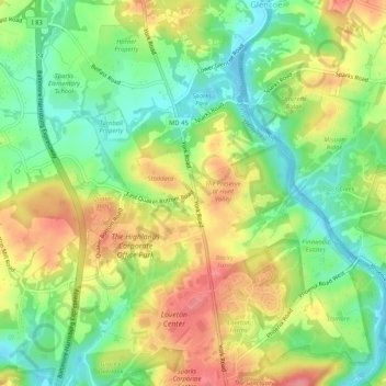
Name: Sparks topographic map, elevation, terrain.
Location: Sparks, Baltimore County, Maryland, 21152, USA (39.51039 -76.66584 39.55039 -76.62584)
Average elevation: 117 m
Minimum elevation: 75 m
Maximum elevation: 167 m