
Sturgeon Lake topographic map
Interactive map
Click on the map to display elevation.
About this map
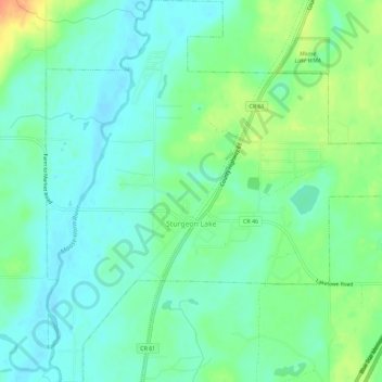
Name: Sturgeon Lake topographic map, elevation, terrain.
Location: Sturgeon Lake, Pine County, Minnesota, 55783, USA (46.36476 -92.84570 46.40424 -92.79125)
Average elevation: 325 m
Minimum elevation: 312 m
Maximum elevation: 353 m