
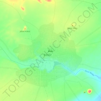
Mellit topographic map
Interactive map
Click on the map to display elevation.
About this map
Name: Mellit topographic map, elevation, terrain.
Location: Mellit, North Darfur State, Sudan (14.09942 25.51044 14.17942 25.59044)
Average elevation: 925 m
Minimum elevation: 869 m
Maximum elevation: 1,037 m