
Lewis Mountain topographic map
Interactive map
Click on the map to display elevation.
About this map
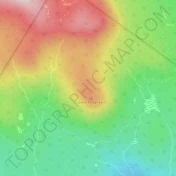
Name: Lewis Mountain topographic map, elevation, terrain.
Location: Lewis Mountain, Lewis, Essex County, Vermont, United States (44.90139 -71.77153 44.90149 -71.77143)
Average elevation: 662 m
Minimum elevation: 478 m
Maximum elevation: 898 m