
Salmons topographic map
Interactive map
Click on the map to display elevation.
About this map
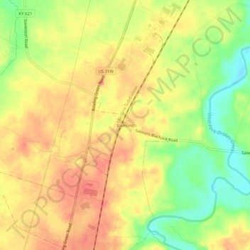
Name: Salmons topographic map, elevation, terrain.
Location: Salmons, Franklin, Simpson County, Kentucky, United States (36.75837 -86.58305 36.79837 -86.54305)
Average elevation: 198 m
Minimum elevation: 166 m
Maximum elevation: 218 m