
Aghireș topographic map
Interactive map
Click on the map to display elevation.
About this map
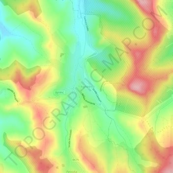
Name: Aghireș topographic map, elevation, terrain.
Location: Aghireș, Sălaj, 457246, Romania (47.14164 22.99764 47.18164 23.03764)
Average elevation: 319 m
Minimum elevation: 245 m
Maximum elevation: 402 m