
Gattorna topographic map
Interactive map
Click on the map to display elevation.
About this map
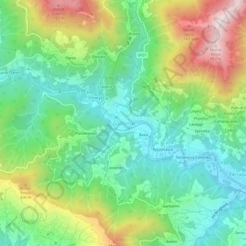
Name: Gattorna topographic map, elevation, terrain.
Location: Gattorna, Moconesi, Gênes, Ligurie, 16047, Italie (44.40920 9.16421 44.44920 9.20421)
Average elevation: 365 m
Minimum elevation: 107 m
Maximum elevation: 855 m