
Wixhausen topographic map
Interactive map
Click on the map to display elevation.
About this map
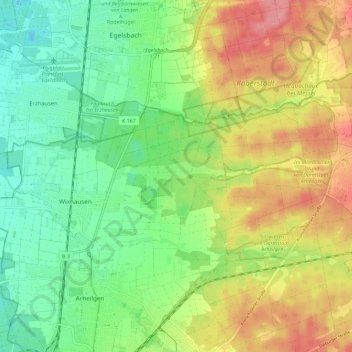
Name: Wixhausen topographic map, elevation, terrain.
Location: Wixhausen, Darmstadt, Hessen, Deutschland (49.92030 8.62369 49.95381 8.73901)
Average elevation: 143 m
Minimum elevation: 105 m
Maximum elevation: 195 m