
Sogo topographic map
Interactive map
Click on the map to display elevation.
About this map
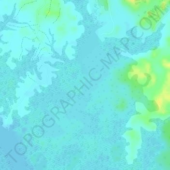
Name: Sogo topographic map, elevation, terrain.
Location: Sogo, Libreville, Estuaire, Gabon (0.35896 9.57714 0.37827 9.60168)
Average elevation: 5 m
Minimum elevation: -2 m
Maximum elevation: 22 m