
Uvira topographic map
Interactive map
Click on the map to display elevation.
About this map
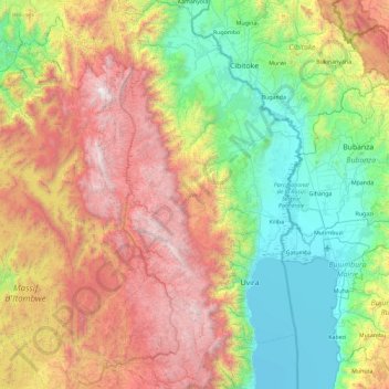
Name: Uvira topographic map, elevation, terrain.
Location: Uvira, South Kivu, Democratic Republic of the Congo (-3.65909 28.78232 -2.73800 29.26094)
Average elevation: 1,744 m
Minimum elevation: 761 m
Maximum elevation: 3,438 m