
Cradley topographic map
Interactive map
Click on the map to display elevation.
About this map
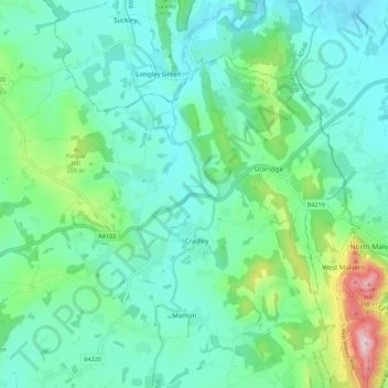
Name: Cradley topographic map, elevation, terrain.
Location: Cradley, Herefordshire, England, United Kingdom (52.10637 -2.45479 52.15510 -2.34461)
Average elevation: 127 m
Minimum elevation: 45 m
Maximum elevation: 423 m