
Sungai Baleh topographic map
Interactive map
Click on the map to display elevation.
About this map
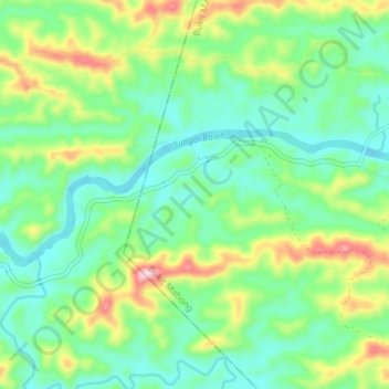
Name: Sungai Baleh topographic map, elevation, terrain.
Location: Sungai Baleh, Bukit Mabong, Kapit Division, Sarawak, Malaysia (2.00491 113.10176 2.02773 113.17496)
Average elevation: 92 m
Minimum elevation: 2 m
Maximum elevation: 302 m
Other topographic maps
Click on a map to view its topography, its elevation and its terrain.