
Vejer topographic map
Interactive map
Click on the map to display elevation.
About this map
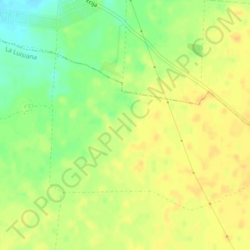
Name: Vejer topographic map, elevation, terrain.
Location: Vejer, La Luisiana, Sevilla, Andalusia, 41439, Spain (37.56819 -5.20307 37.58819 -5.18307)
Average elevation: 175 m
Minimum elevation: 157 m
Maximum elevation: 185 m