
Lochard topographic map
Interactive map
Click on the map to display elevation.
About this map
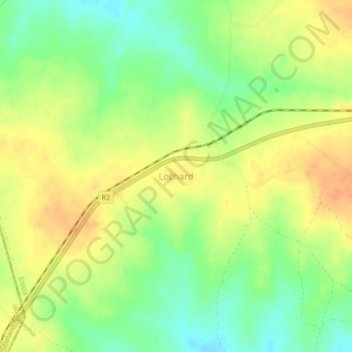
Name: Lochard topographic map, elevation, terrain.
Location: Lochard, Insiza, Matabeleland South Province, Zimbabwe (-19.94931 28.98896 -19.90931 29.02896)
Average elevation: 1,366 m
Minimum elevation: 1,345 m
Maximum elevation: 1,383 m