
1172 topographic map
Interactive map
Click on the map to display elevation.
About this map
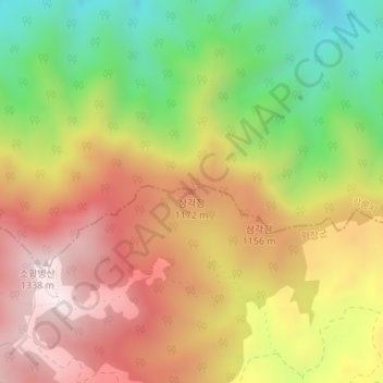
Name: 1172 topographic map, elevation, terrain.
Location: 1172, 평창군, Gangwon, Coreia do Sul (37.77257 128.68367 37.77267 128.68377)
Average elevation: 1,013 m
Minimum elevation: 651 m
Maximum elevation: 1,337 m