Geolocate

Manjini topographic map

Click on the map to display elevation.

About this map

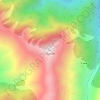
Name: Manjini topographic map, elevation, terrain.

Location: Manjini, Gandoh, Doda District, Jammu and Kashmir, India (33.05803 76.08250 33.05813 76.08260)

Average elevation: 3,330 m

Minimum elevation: 2,766 m

Maximum elevation: 3,867 m

Gear up for your next adventure:

🗺️Scratch-off Peak Maps - Track your progress climbing Munros or Wainwrights
🍳Camping Stoves - Compact stoves for outdoor cooking
👕Merino Base Layers - Natural temperature regulation for cold weather hiking and camping
🪓Outdoor Multitools - Versatile tools for hiking and camping
Lightweight Tents - Compact tents for backpacking and trekking

As an Amazon Associate, this site earns from qualifying purchases at no extra cost to you.