
St. Regis topographic map
Interactive map
Click on the map to display elevation.
About this map
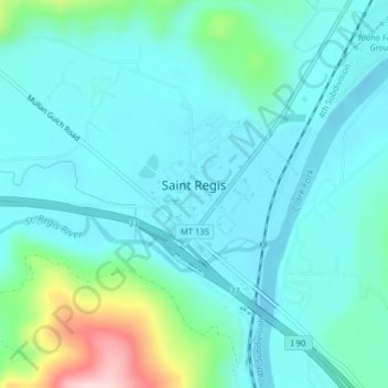
Name: St. Regis topographic map, elevation, terrain.
Location: St. Regis, Mineral County, Montana, 59866, United States (47.29162 -115.12258 47.30942 -115.08913)
Average elevation: 838 m
Minimum elevation: 791 m
Maximum elevation: 1,048 m