
Ban Chom Mani topographic map
Interactive map
Click on the map to display elevation.
About this map
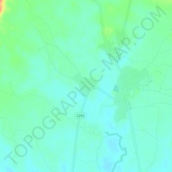
Name: Ban Chom Mani topographic map, elevation, terrain.
Location: Ban Chom Mani, Dong Mon, Mukdahan Province, Thailand (16.64010 104.47219 16.68010 104.51219)
Average elevation: 177 m
Minimum elevation: 163 m
Maximum elevation: 224 m
Other topographic maps
Click on a map to view its topography, its elevation and its terrain.