
Chauvin topographic map
Interactive map
Click on the map to display elevation.
About this map
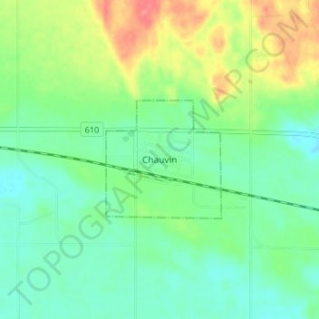
Name: Chauvin topographic map, elevation, terrain.
Location: Chauvin, Municipal District of Wainwright, Alberta, Canadá (52.67392 -110.16384 52.71392 -110.12384)
Average elevation: 631 m
Minimum elevation: 608 m
Maximum elevation: 676 m